LINZ launches six-month LiDAR flight campaign across New Zealand
LINZ begins a six-month LiDAR flight campaign across New Zealand's North and South Islands, aiming to map up to 40% of the coastline in 3D by May 2027.
- Section
- Urbanism & Planning
- Author
- By Marcus Bennett
- Filed
- Length
- 2 min read
Key takeaways
- LINZ's 3D Coastal Mapping program aims to map up to 40% of New Zealand's coastline.
- The flight campaign runs from early November 2026 to May 2027, weather permitting.
- Surveys use LiDAR and multi-beam echosounder technologies across land and shallow seabed.
- Areas covered include Auckland, Wellington, Canterbury and eight other coastal regions.
- LINZ is recruiting new members to its 3D Coastal Mapping Advisory Group.
By Marcus Bennett
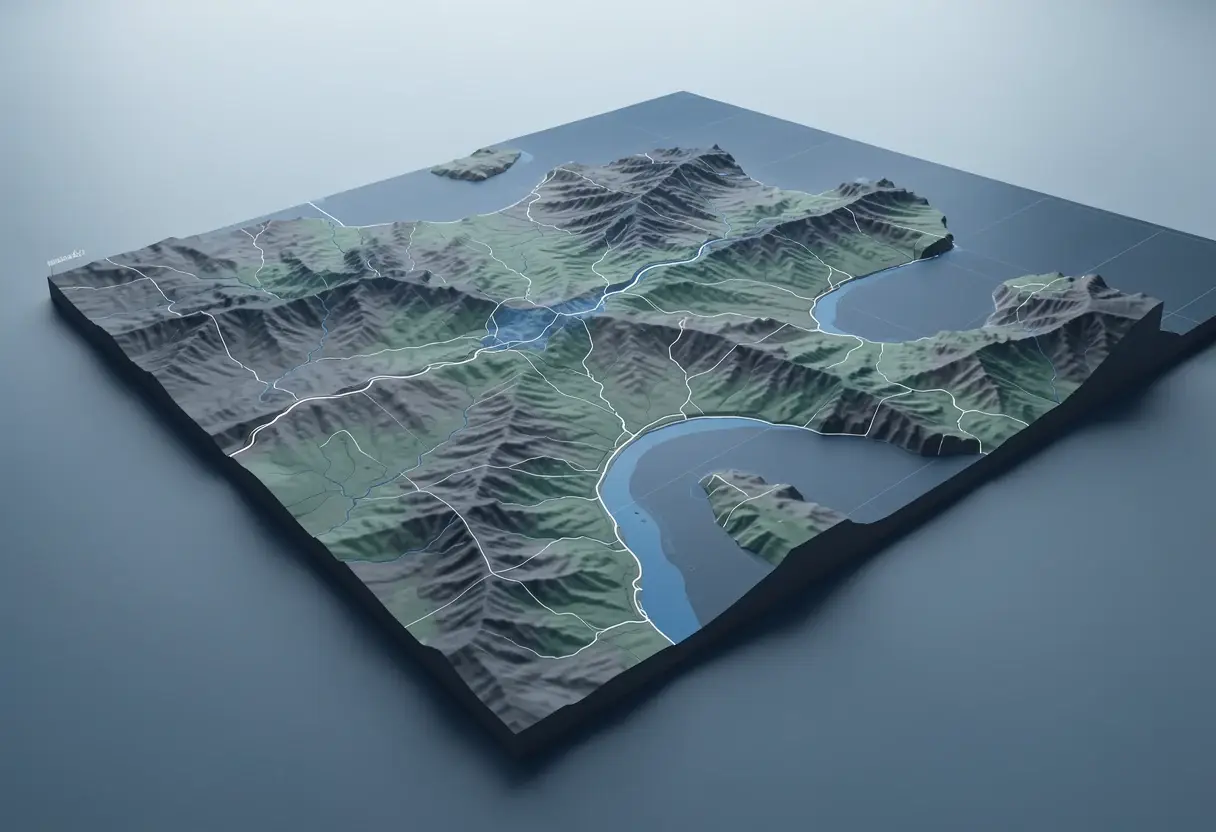
Specialist survey aircraft return to New Zealand's skies this month to begin a six-month LiDAR campaign that will help map up to 40% of the country's coastline in 3D. Toitū Te Whenua Land Information New Zealand (LINZ) runs the flights, which cover coastal areas across both the North and South Islands.
The campaign forms part of LINZ's 3D Coastal Mapping program, which combines LiDAR with multi-beam echosounder technologies. Together, the two methods capture the land surface and the seabed in shallow water, producing detailed coastline maps that span the land–sea boundary.
Why these coastlines?
Program Lead Stuart Caie said the data will build a clearer picture of New Zealand's coastal environment and the risks it faces.
"New Zealand's coastline is exposed to natural hazards including tsunamis, storm surges, erosion, land movement and earthquakes," he said.
"By creating a clearer picture of the coast, this information will help communities understand what may be at risk and support councils and other organisations to plan infrastructure and essential services for the future."
LINZ selected the survey areas on three criteria: substantial populations, important infrastructure, or higher risk of coastal flooding. The selection logic points the data toward places where hazard exposure and human investment overlap.
Where and when will the flights run?
The flight campaign runs from early November 2026 to May 2027, subject to suitable weather and water conditions. Anyone can follow progress through the online 3D Coastal Mapping Progress Tracker.
The coastal areas on the flight plan include:
- Auckland
- Waikato
- Gisborne
- Bay of Plenty
- Hawke's Bay
- Manawatū-Whanganui
- Wellington
- Southland
- Canterbury
- West Coast
- Marlborough
What is the advisory group recruiting for?
As Spatial Source reported last week, LINZ is seeking new members for its 3D Coastal Mapping Advisory Group. The group exists to gather extra expertise and perspectives on how high-resolution coastal and seafloor data can support hazard modelling and planning, climate adaptation, safeguarding cultural heritage, and community resilience.
Caie framed the group's role in practical terms: "This group connects high-quality coastal data with the people who can apply it to real-world challenges."
For practitioners, the recruitment signals how LINZ intends the dataset to be used: not as an archive but as an input to council planning, infrastructure decisions and hazard models. Councils, consultancies and community organisations working on coastal risk now have a named channel through which to shape how the data reaches them. The flights ending in May 2027 set the clock on when that high-resolution coverage starts arriving.
Source: spatialsource.com.au
More from Marcus Bennett
Show full bio
Correspondent covering money, funding and market shifts around construction industry, architecture, interior design at Built Current.
328 articles