AI Vegetation Mapping Project WAVE Wins Second WA Award in Three Months
The WA Vegetation Extent Pilot's AI reads whole landscapes, not pixels. It just won a Government Innovation Award, its second prize in three months.
- Section
- Landscape & Public Space
- Author
- By Elena Vasquez
- Filed
- Length
- 2 min read
Key takeaways
- WAVE won a Government Innovation Award at the 2026 WA Innovators of the Year Awards.
- The project was one of nine winners and two runners-up selected from 152 entrants.
- WAVE picked up a Merit Award at the 35th Annual WAITTA INCITE Awards in August.
- Western Australia spans 2.5 million square kilometres, making vegetation mapping costly.
- The Department of Water and Environmental Regulation leads the project with seven partners.
Western Australia's AI-driven vegetation mapping project has won its second award in just three months. The WA Vegetation Extent (WAVE) Pilot received a Government Innovation Award at the 2026 WA Innovators of the Year Awards, beating out a field of 152 entrants to become one of nine winners and two runners-up.
The win follows a Merit Award the project picked up in August in the People and Planet Solution of the Year category at the 35th Annual WAITTA INCITE Awards.
What makes WAVE different?
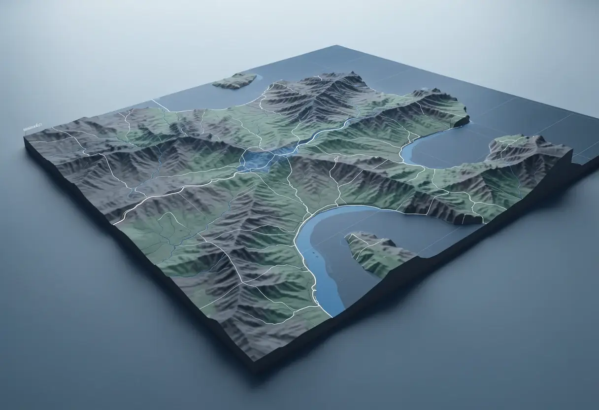
The WAVE Pilot team built an AI-powered workflow that reads entire landscapes rather than individual pixels. Instead of checking satellite images point by point, the system interprets the context, texture and structure of whole scenes.
That shift matters. The team trained machine-learning and pattern recognition systems on satellite imagery to work out where native vegetation is, where it isn't, and how it changes over time. Because it recognises patterns across full scenes, WAVE can spot native vegetation in sparse and complex environments where conventional pixel-based approaches struggle.
Why Western Australia needs it
The scale of the problem is enormous. Western Australia covers 2.5 million square kilometres — roughly a third of the Australian continent — and its ecological diversity has historically made vegetation mapping difficult, slow and expensive.
The WAVE Pilot set out to test whether emerging technologies could close that gap. The goal: more frequent, transparent and consistent vegetation information to support better decision-making by government agencies.
Who is behind it?
The Western Australia Department of Water and Environmental Regulation leads the project. Its partners span the state's land, environment and emergency agencies:
- Department of Planning, Lands and Heritage
- Department of Biodiversity, Conservation and Attractions
- Department of Primary Industry and Regional Development
- Department of Mines, Petroleum and Exploration
- Department of Fire and Emergency Services
- Landgate
- Environmental Protection Authority
That partner list signals the breadth of use cases. Mining regulation, fire response, biodiversity protection and land planning all depend on knowing where native vegetation stands and how it shifts.
What did the minister say?
"For 20 years, the WA Innovators of the Year Awards have celebrated the ingenuity, ambition, and talent of Western Australians," said Western Australia's Science and Innovation Minister, Stephen Dawson.
"This is an extraordinary milestone and reflects the strength of our state's innovation ecosystem and the people working to shape its future," Dawson said.
"Congratulations to this year's winners and runners-up, whose innovations demonstrate the important role local businesses and entrepreneurs play in developing new ideas, technologies, and solutions to real-world problems."
What comes next?
Two awards in three months suggest the pilot has moved past proof of concept. If the technology holds up at statewide scale, Western Australia's agencies could gain something they've never had: a repeatable, affordable way to track native vegetation across 2.5 million square kilometres.
Source: spatialsource.com.au
More from Elena Vasquez
Show full bio
Senior reporter covering money, funding and market shifts around construction industry, architecture, interior design at Built Current.
354 articles