Drones Are Turning Cities Into Maps of Recoverable Material
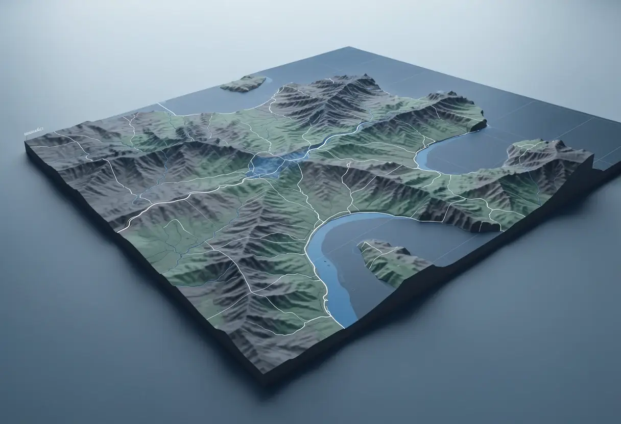
Drone surveys paired with photogrammetry and thermal imaging now let architects measure urban heat, sand accumulation and demolition-bound materials with survey-grade precision.
- Section
- Construction Tech
- Author
- By Elena Vasquez
- Filed
- Length
- 4 min read
Key takeaways
- Sun-exposed concrete sidewalks in Ann Arbor ran ~11°C (20°F) above air temperature; dark bituminous roofing hit ~82°C (180°F) in Keenan Gibbons' drone thermal study.
- MatterSite, developed at IAAC Barcelona by Areti Markopoulou and Oana Taut, uses drones, robotics and computer vision to catalogue recoverable materials in buildings slated for demolition.
- A five-year UAV survey (2016–2021) of the Bevano River dunes in Ravenna, Italy, recorded 3,799 m² of sand deposition, 1,109 m³ in volume, at 0.29 m average depth.
- Thermal and photogrammetric drone data still requires technical surveys, construction records and ground inspections to verify material composition and reuse potential.
Sun-exposed concrete sidewalks in Ann Arbor, Michigan, ran approximately 11°C (20°F) above ambient air temperature, while dark bituminous roofing reached roughly 82°C (180°F) — figures captured not by ground sensors but by a drone equipped with thermal and RGB cameras. The study behind those numbers, "Combating the Heat Island Effect with Drone-Based Thermal Visualization" by Keenan Gibbons, mapped a five-block corridor along Huron Street and showed how strongly material choice drives urban heat.
The research is part of a broader shift. Aerial imagery, combined with photogrammetry, thermal imaging, geographic information systems (GIS) and automated image processing, is moving from a niche documentation tool into a working method for architects, engineers, surveyors, urban planners and researchers. As Jane Jacobs once suggested: "Cities are the mines of future" — a line that drone-era urban analysis is starting to take literally.
What can a drone actually read from a city?
From above, rooftops, pavements, facades, industrial surfaces and open spaces form what analysts describe as a material mosaic. A metal roof reads differently from a concrete slab; an impermeable pavement reads differently from a natural surface. The bird's-eye view also exposes the balance between built surfaces and vacant spaces, revealing patterns of construction, occupation and building periods that ground-level observation catches only in fragments.
This perspective feeds directly into circular economy debates. If a city is a repository of existing materials, the next question is how to locate, quantify and assess those resources before demolition mixes them into waste.
How do you mine a building before demolition?
One answer comes from Barcelona. "Urban Mining. Scoping resources for circular construction," by Areti Markopoulou and Oana Taut, introduces MatterSite, a research project developed within the Master in Robotics and Advanced Construction at the Institute for Advanced Architecture of Catalonia (IAAC). The project combines drone photography, robotics and computer vision to identify and classify building materials and components in structures approaching demolition.
The mechanism is prior digitization. Automated image processing locates recoverable materials, records their positions, quantifies their presence and assesses their condition — information that then informs decisions about selective dismantling and reuse. The authors argue the survey becomes more than documentation: it helps plan a building's transformation and the management of its material resources by connecting available materials with project requirements.
The method has limits. Remote sensing and spatial data processing cannot determine a material's exact composition, structural condition or reuse potential without complementary inputs — technical surveys, construction records, specialized sensors or ground-level inspections.
What did the thermal drone flights in Ann Arbor find?
Gibbons' study generated maps distinguishing temperature variations across paved surfaces, rooftops, vegetation and shaded areas. Vegetated surfaces and tree canopies stayed close to ambient air temperature. Shaded concrete was considerably cooler than sun-exposed concrete. Dark, dense surfaces — asphalt and black roofing in particular — absorbed solar radiation, stored it, and released heat back into the surrounding environment.
As Gibbons explains, heat is not distributed uniformly across the urban environment; it's influenced by what lies beneath our feet and above our heads. Vegetation and tree canopies gain an additional cooling edge through evapotranspiration, the process by which water evaporates from surfaces and is released by plants into the atmosphere.
Heat also varies over time. Repeated drone surveys before and after construction, and across different years, can show whether nature-based solutions and alternative material finishes keep their cooling performance through seasonal variation, material aging and vegetation change.
Can drones track natural materials too?
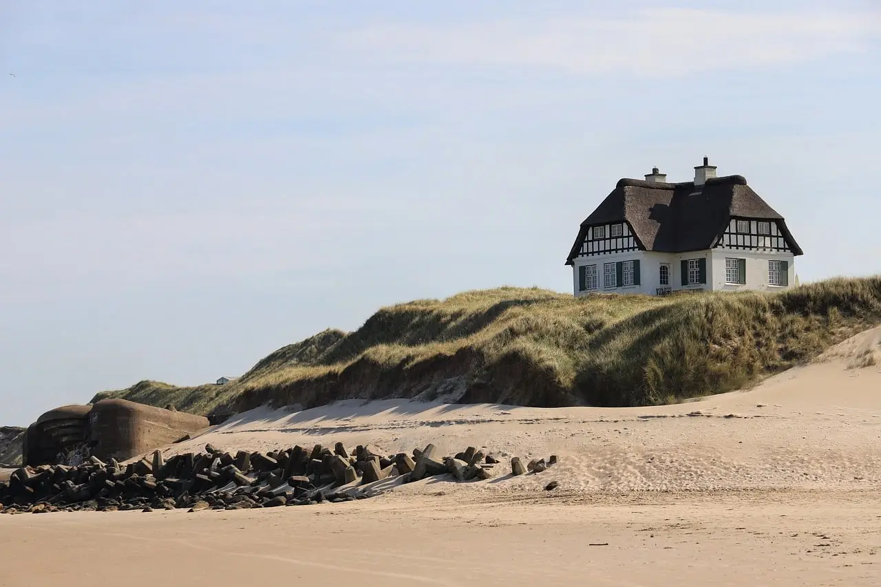
On the northern Adriatic coast near Ravenna, Italy, researchers used drones to evaluate a dune restoration project at the mouth of the Bevano River. The study, "Dune Belt Restoration Effectiveness Assessed by UAV Topographic Surveys," by Regine Anne Faelga, Luigi Cantelli, Sonia Silvestri and Beatrice Maria Sole Giambastiani, measured sand accumulation and vegetation changes over five years using Structure-from-Motion (SfM) photogrammetry and Geomorphic Change Detection (GCD), comparing surveys from 2016 and 2021.
The results: fences installed to support dune development worked. Significant sand deposition was recorded along the dune toe and front, covering 3,799 square meters, with a volume of 1,109 cubic meters and an average deposition depth of 0.29 meters — roughly 30 centimeters of new sand accumulated against the barriers in five years.
The stakes matter beyond one beach. Coastal dunes protect against flooding, support groundwater storage, prevent saltwater intrusion, provide habitats and offer recreation, yet their dynamic nature makes them vulnerable to environmental change and human activity.
Where does this lead?
The through-line across all three studies is the same: aerial photographs become "material intelligence" once they're converted into georeferenced maps, 3D models and point clouds. That data can feed material inventories, guide selective demolition and support circular construction strategies — shifting the practice from observing the built environment to actively accounting for what it contains. As SfM photogrammetry and automated processing get cheaper, expect repeated drone surveys to become a standard instrument for tracking both urban resources and coastal resilience.
Original: link.springer.com
More from Elena Vasquez
Show full bio
Senior reporter covering money, funding and market shifts around construction industry, architecture, interior design at Built Current.
354 articles