QGIS Crowdfunder Seeks $137,500 to Bring Reality Capture and Better Animation to 3D Maps
North Road and Lutra Consulting aim to raise $137,500 to add 3D Gaussian splatting, rebuilt animation and gamepad control to QGIS, with delivery across 2027 releases.
- Section
- Construction Tech
- Author
- By Elena Vasquez
- Filed
- Length
- 2 min read
Key takeaways
- North Road and Lutra Consulting aim to raise $137,500 (€85,000) for QGIS 3D development.
- The campaign funds 3D Gaussian splatting, upgraded 2D and 3D animation, atmospheric effects, scene presets, an identify tool and gamepad control.
- Features are planned for QGIS versions 4.6, 4.8 and 4.10, all due in 2027.
- Lutra Consulting has contributed to QGIS for more than 10 years and leads the 3D map view.
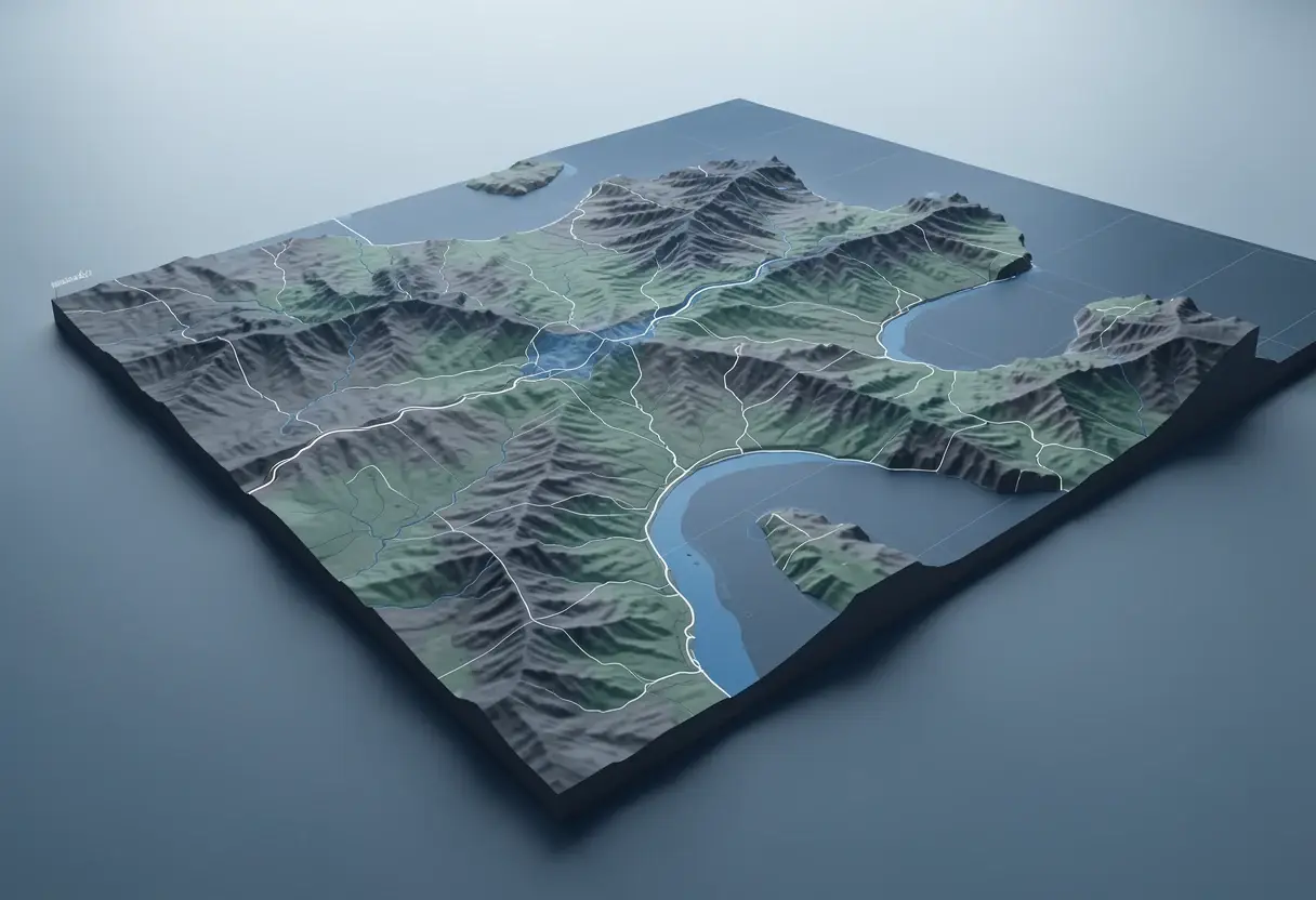
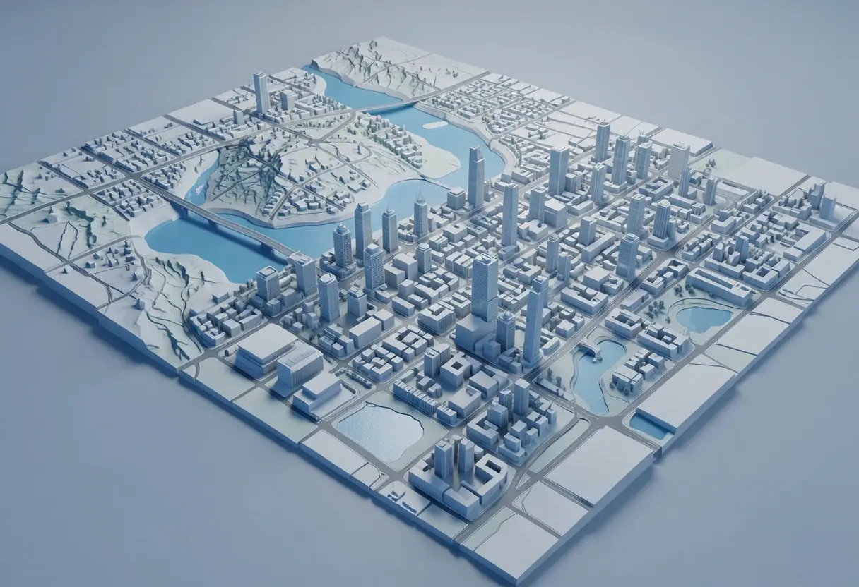
Australian GIS developer North Road and UK-based Lutra Consulting want $137,500 (€85,000) — roughly what a mid-sized software contract costs — to push 3D work in QGIS, the open-source mapping platform, to what the firms call "yet another level."
The crowdfunder's centerpiece is reality capture through 3D Gaussian splatting, a technique that turns scans into photorealistic 3D scenes. The developers have already produced a demo animation showing what splatting can do. "Now imagine being able to open this kind of data in QGIS, have such scans overlaid with the rest of your geospatial data in 2D and 3D map canvas! That's exactly what we'd like to do," they say.
What does the money actually buy?
The campaign funds six concrete additions or upgrades:
- Reality capture through 3D Gaussian splatting;
- Upgraded animation support, usable in both 2D and 3D maps;
- Atmospheric scattering, building on recent QGIS functionality to automate effects such as dawn, midday and dusk;
- Scene presets, including switching between CAD/BIM and Realistic views;
- An identify tool for points and lines, for objects like trees and billboards;
- Gamepad control for moving through 3D scenes.
The animation upgrade addresses a long-standing pain point. "Creating animations of 3D maps in existing QGIS versions can be a fiddly, frustrating process," the developers say. "We realise that there's a need for improving this drastically! We also realise that some users have a desire to create animated versions of their 2D maps."
Their fix is one flexible animation system covering both use cases — 2D and 3D — rather than two separate tools. Current animation workflows are, in their words, "super fiddly."
Who is behind the campaign?
Both firms carry weight in the QGIS ecosystem. North Road, based in Australia, has added many features to QGIS over the years, with a focus on cartographic and analytical capabilities. Lutra Consulting, the home of Mergin Maps, has contributed to QGIS for more than 10 years and leads development of the 3D map view.
That track record matters for a crowdfunded project: backers are essentially pre-paying two experienced development teams, not betting on newcomers.
When would the features land?
The developers hope to deliver the promised features across QGIS releases in 2027 — versions 4.6, 4.8 and 4.10. That's a staggered rollout rather than a single release, which is standard for a feature set this size.
A full outline of the intended improvements, along with details on how to contribute to the campaign, is available online. For the open-source geospatial community, the campaign's outcome will signal whether crowd funding can still underwrite headline features — like Gaussian splatting — that proprietary GIS vendors are racing to ship themselves.
Source: spatialsource.com.au
More from Elena Vasquez
Show full bio
Senior reporter covering money, funding and market shifts around construction industry, architecture, interior design at Built Current.
354 articles