Palmyra Counts Every Municipal Tree With $20,000 State Grant
Palmyra is cataloging every municipal tree in its largest-ever survey, backed by a $20,000 state grant and volunteer fieldwork feeding a five-year Community Forestry Management Plan.
- Section
- Landscape & Public Space
- Author
- By Priya Raman
- Filed
- Length
- 2 min read
Key takeaways
- Palmyra received a $20,000 state grant toward a five-year Community Forestry Management Plan.
- The borough calls it the largest, most in-depth tree survey it has ever conducted.
- Contractor DelAtlantic Soil Conservation District is running the inventory with local volunteers.
- Data on trunk diameter, condition and coordinates will feed GIS mapping platforms.
- Administrator John Gural said some trees will have to be removed after the inventory.
By Priya Raman
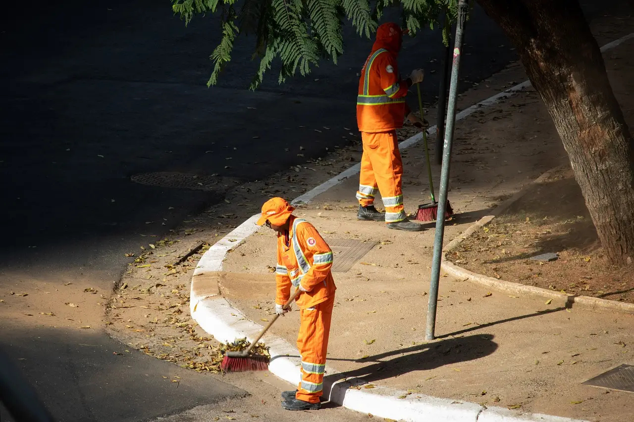
Palmyra has launched the largest tree inventory in the borough's history, backed by a $20,000 state grant. The survey will catalog every municipal-owned and managed tree and feed a five-year Community Forestry Management Plan.
"We have quite a few mature trees and need to monitor their progress. This is the largest, most in-depth and significant survey we have ever done," said Palmyra Township Administrator John Gural.
The work brings together three groups: the Shade Tree Advisory Committee, the Green Team, and community volunteers. Contractor DelAtlantic Soil Conservation District is running the inventory.
What does the survey actually record?
Volunteers will log hard data for each tree. The list includes:
- Trunk diameter
- Overall physical condition
- Location coordinates
- Hazardous trees and structural damage
- Pest or disease outbreaks
- Young trees needing pruning or more water
Once collected, the data moves into Geographic Information System (GIS) mapping platforms (software that links records to interactive maps). Town managers will then view and update tree locations directly on those maps.
Why Palmyra is counting now
Municipal tree inventories build a systematic record and database of public trees, planting sites and green spaces, borough officials explained. The records determine the location, health, species and maintenance needs of trees in parks, streets and rights of way.
Gural framed the stakes plainly: "Trees are critical to a healthy environment now and in the future."
The borough sits across the river from Philadelphia, the sixth-largest city in the United States and, in the source's words, an industrial behemoth. Air quality pressure has grown recently. Smoke plumes from Canadian wildfires have worsened pollution and smog in metropolitan areas over the past few years, the borough noted.
Palmyra's canopy includes century-old trees, and Gural said the borough has "quite a few" mature specimens whose progress needs monitoring.
What happens after the count?
The inventory is step one. Gural said some trees will have to be removed once the count wraps, and the borough will take steps to address any issues raised as the Community Forestry Management Plan is completed.
Officials say continued forest management delivers environmental, economic and public health benefits to Palmyra's residents and visitors. The inventory itself provides the framework for promoting sustainability and species diversity across the community forest — a living dataset, not a one-time audit, that will shape planting, pruning and removal decisions through the plan's five-year horizon.
Source: haddonfieldsun.com
More from Priya Raman
Show full bio
News editor covering people, launches and day-to-day practice in construction industry, architecture, interior design at Built Current.
365 articles