Bai'etan Ties Guangzhou's Riverfront to Daily City Life
UTE Agence Ter & Ana Coello de Llobet shaped a 10-hectare, 100,000 m² public landscape in Guangzhou, weaving a historic district, shopping and transit into the Pearl River waterfront.
- Section
- Landscape & Public Space
- Author
- By Grace Kim
- Filed
- Length
- 3 min read
Key takeaways
- Bai'etan covers 100,000 m², about 10 hectares, beside the Pearl River in Guangzhou.
- The project year is 2026, with Kai DIAO named as lead architect.
- UTE Agence Ter & Ana Coello de Llobet are the architects.
- The scheme links a metro station, the MIXC shopping complex, community plazas, a waterfront park and a protected historic district.
- The landscape forms part of a China Resources Land development.
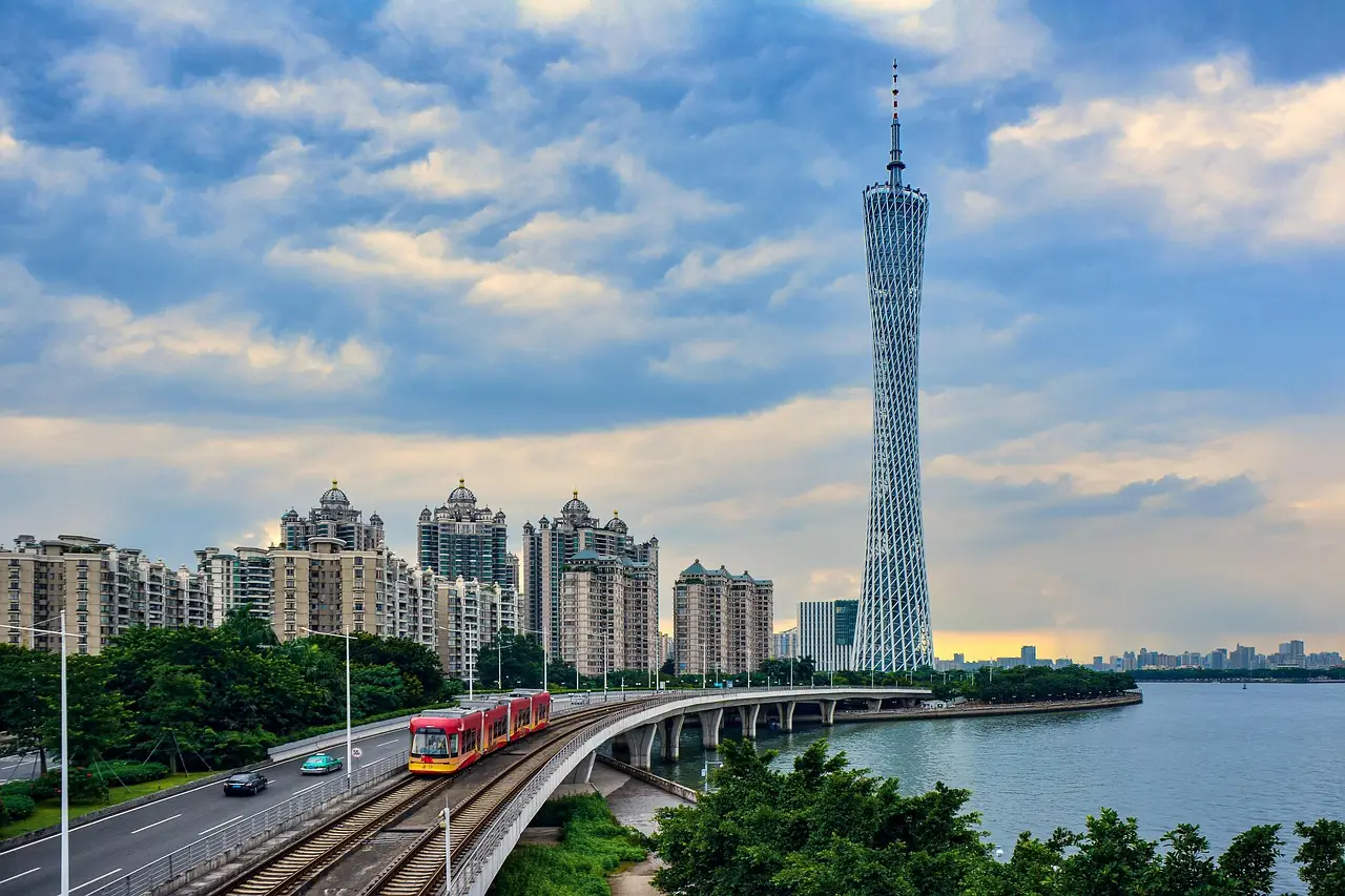
The 2026 Bai'etan project in Guangzhou covers 100,000 m² — about 10 hectares — beside the Pearl River. UTE Agence Ter & Ana Coello de Llobet, its architects, describe the scheme as a continuous, multilevel public landscape.
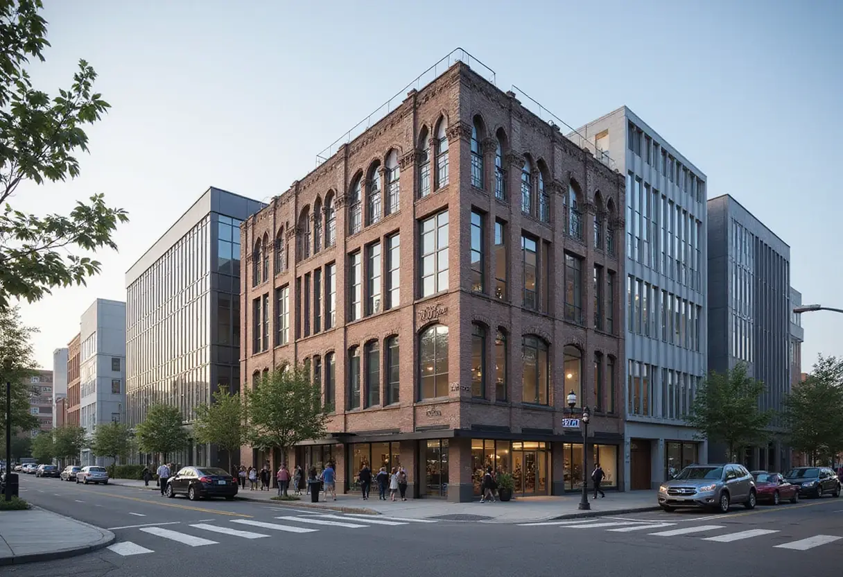
Daily use drives that scheme, according to the architects. Metro riders, students, commuters, residents and visitors move between a protected historic district, the MIXC shopping complex, community plazas, a waterfront park and a metro station. Public spaces also serve residences, apartments, a gymnasium and schools.
The site forms part of a China Resources Land development, according to the project description. It brings together urban fabrics from different periods, buildings at varied scales and diverse communities. Commercial activity runs alongside the routines of residents, students, commuters and visitors.
Two directions through the district
The architects structure the landscape around two directions: movement along the river and movement toward it. The waterfront park establishes a continuous public edge. Pedestrian routes link transit nodes, community plazas and buildings to the river.
Sunken plazas, ground-level walkways, terraces and rooftops extend the network vertically, creating places for movement and rest on several levels. The architects say landscape acts as a framework for the riverfront, historic buildings, neighborhoods, commerce and public facilities, serving different people and activities.
Water as the design tool
The design translates the movement, erosion and deposition of water into a logic for shaping space. That logic informs the contours of the ground, the expansion and compression of spaces, and the forms and surface textures of landscape elements.
The architects say the resulting geometries and tactile qualities let people perceive the relationship between water and the site through walking, pausing and touching. Terraces, sunken plazas and waterfront public spaces place people above the water, within it and beneath it.
Shifting views, the relationship between body and ground, and changes in light and material create impressions of suspension, immersion and descent. In the architects' account, water becomes a medium for organizing space and bodily experience, connecting the project's levels through a continuous spatial narrative.
The hard problems
The architects identify three main pressures: scale differences between historic and new buildings, concentrated pedestrian flows around transit, and the distinct rhythms of public facilities. Level changes between underground spaces, the ground plane and rooftops add further complexity.
Guangzhou's hot, humid climate sets another condition. The architects say the network had to offer comfortable conditions for walking and lingering. Continuous routes, comfortable surroundings and varied places to pause give these different rhythms of life a shared setting.
What changes for daily users?
For residents, students, commuters and visitors, the practical change is a connected route from the metro through community plazas, shops, school and the gymnasium to the river. That single journey ties transit, neighborhoods, commerce and the riverfront together.
The route carries history as well. Pedestrian connections and open spaces integrate new and historic buildings into a shared setting for contemporary life. Traveling between the metro station, neighborhoods, shops and the riverfront, people encounter spaces of different ages and scales. The architects describe this as experiencing the site's historical layers through a continuous walking journey.
The project description from lead architect Kai DIAO states: "Bai'etan's landscape reconnects history, the city, and the Pearl River." The architects add: "Its lasting value lies in enabling people to encounter local memory, form new social connections, and give the place new meaning through everyday use."
Project credits list UTE Agence Ter & Ana Coello de Llobet as architects and Kai DIAO as lead architect. Photographs carry the credit ©️IAM岸木摄影.
The architects make one further argument: a place's value does not necessarily depend on new forms. It can emerge from reorganizing existing conditions to foster new relationships between people and their surroundings. Dated 2026, Bai'etan's public landscape will be judged by the connections people make along the route.
Source: ArchDaily
More from Grace Kim
Show full bio
Staff writer covering money, funding and market shifts around construction industry, architecture, interior design at Built Current.
325 articles